Happy Sunday! This week, John is hosting Lens-artists photo challenge #412 and the challenge is show up to 6 photos where the landscape is shaped by water.
I am currently in China and for the last 2 days, I’ve been trying to figure out where I am. Google Maps is being stubborn, especially in this country because 90% of the website I visit day-to-day is not accessible there.
Yesterday, Google Maps finally worked and pinpointed me to the Nanhai district near Foshan. My mom’s dad is from there and so, she has cousins there. We have been staying with her cousin for the last two days and I am looking forward to when we finally move to a hotel.
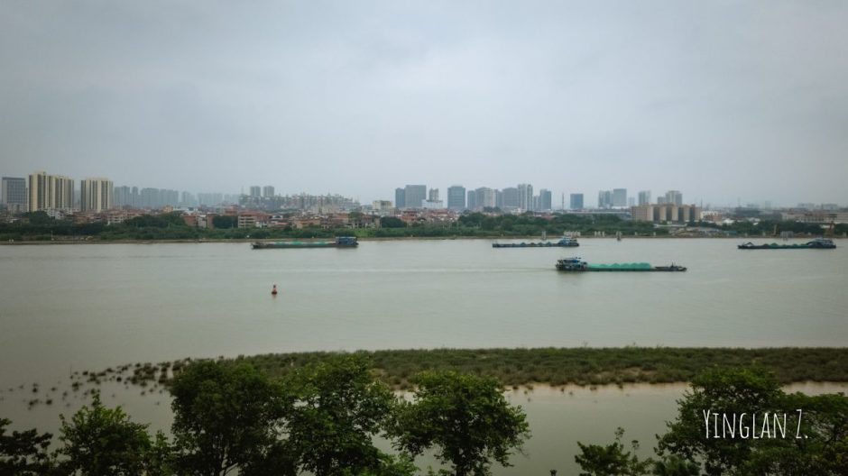
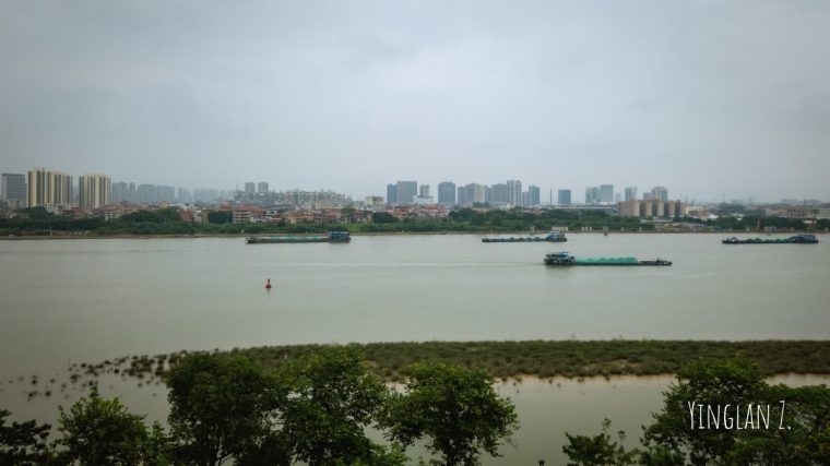
This is the view from one of my mom’s cousin’s apartment. I can’t recall the name of the river but this river is actively shaping the landscape. According to my mom’s cousin, the river has been sinking for the last few years due to climate change, which led by more erratic rainfall patterns.
The patch of grass you see on the lower part of the photo, that’s new and it’s only begun rising in the last few years.
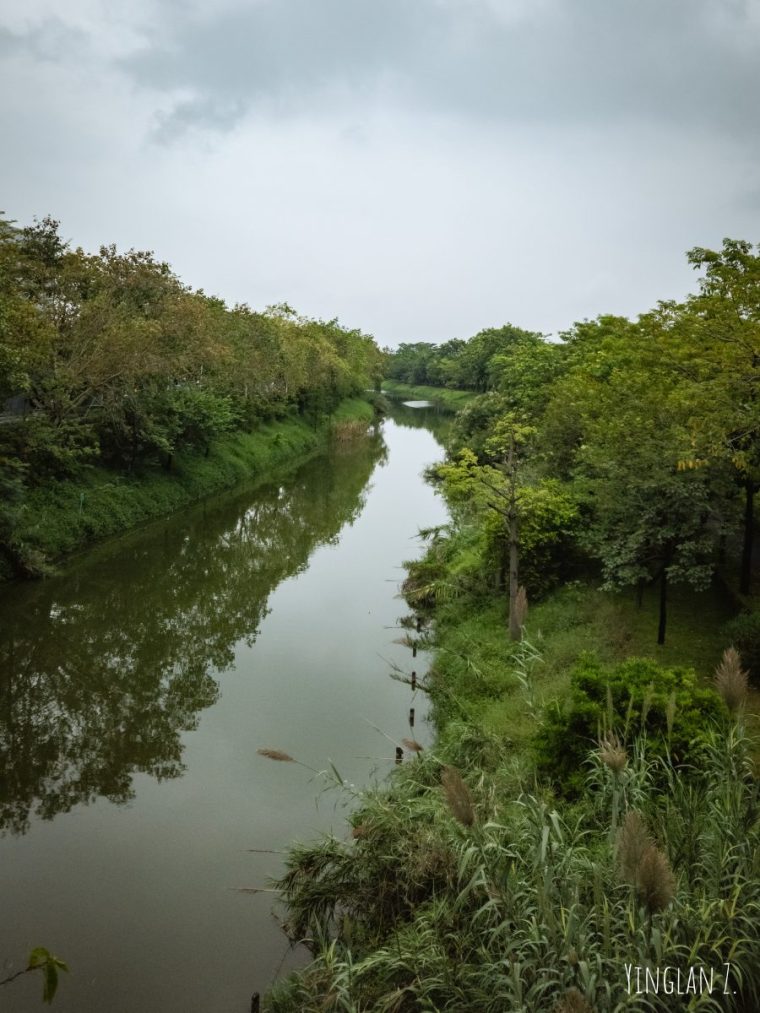
Here is the view from an overpass pedestrian bridge, taken earlier the same day as the first picture. I took this as we were making our way back to the parking lot after my mom, her cousins, and I took a trip to the Nanhai city museum.
This is one of the many waterways that shape this city and the entire region of Guangdong province and because of these waterways, farmers are able to grow food, and goods are able to be shipped world-wide.
Unfortunately, because of my internet connection, I’ll have to keep my posts shorts with fewer pictures. I hope you enjoyed reading this.


A timely post! Yours is a perfect location for a fresh set of images to meet the challenge!
LikeLike
Beautiful views, Yinglan! Enjoy your trip.
LikeLike
Spending two days not quite sure where you are because the maps won’t load is such a specific modern travel experience — we’ve had versions of that and it’s disorienting in a way nobody warns you about. Staying with your mum’s cousin and watching that river from the apartment window is a much better way to answer a water prompt than any postcard shot would be.
LikeLike